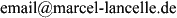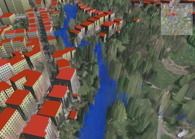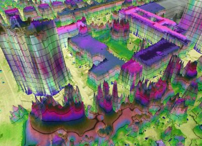


3D City ModelsIn my Masters thesis I was researching aspects of automatic generation and visualization of a 3D city model using existing digital data. Air photos, LIDAR point clouds and soil usage and cadastral maps are used as data sources. (download the Thesis on my publications page) Sample video of a test area of Braunschweig: 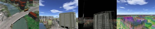 (You need the XviD Decoder, you can get it with the K-lite CoDec Pack) Another video of Braunschweig: 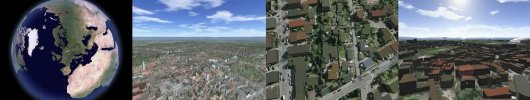 (You need the XviD Decoder, you can get it with the K-lite CoDec Pack) Rendering time ~30 min. First part: textured surface. Second part: automatically reconstructed buildings. Thanks to Tomas Neumann for the sound! Sample screenshots of the same area: 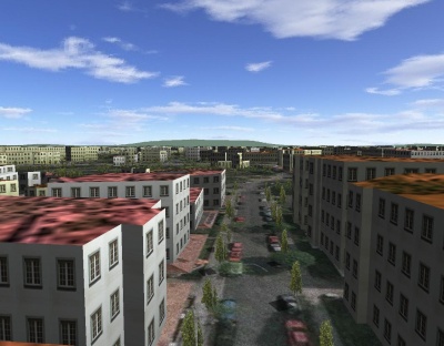 an early screenshot
|